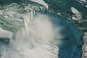
The
Regional Municipality of Niagara, better known as the Niagara
Region, is a peninsula bordered on three sides by water: Lake
Ontario (north border), Lake Erie (south border), and the Niagara
River (east border). It is bordered on the west by the Regional
Municipality of Haldimand-Norfolk and the City of Hamilton.
The Niagara Region covers an area of 1896 sq. km (715 sq. miles),
and has a population of approximately 427,000 people. It is made
up of 12 separate municipalities, ranging from medium size cities
such as St. Catharines (pop. 132,000) and Niagara Falls (pop.
82,000), to small townships such as Wainfleet (pop. 6,600) and
West Lincoln (pop. 13,000).
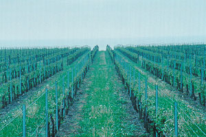
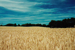
Vineyard on Lake Ontario
In
addition to being bordered by several bodies of water, the
Niagara Region also shares a border with the United States to
the east. Specifically, the State of New York, Erie and Niagara
Counties, and cities such as Buffalo and Niagara Falls, New York
lie across the Niagara River.
Once a hub of manufacturing activity, the Niagara Region still
plays host to heavy and medium-sized industry. Agriculture,
tourism, and transportation also play significant roles in the
economy and culture of the area. Tender fruit and wine grapes
are the primary agricultural products; Niagara Falls, War of
1812 battlegrounds, the Welland Canal, and several areas of
national historic interest carry the tourist industry; and the
unique geography, along with proximity to the Canada-U.S. border
and major metropolitan areas, make the area a key route for
surface and waterway transportation.
Sources:
Regional Municipality of Niagara
Statistics Canada 2006 Census
Statistics Canada
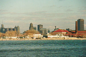
Western New York
Downtown Buffalo, New York
Western
New York is a geographic region comprising eight (8)
counties located in the western portion of New York state:
Erie, Niagara, Orleans, Genesee, Wyoming, Allegany, Cattaraugus,
and Chautauqua Counties. It is bordered on the north by Lake
Ontario; to the south by the State of Pennsylvania; to the east
by several other New York counties; and to the west by the
Niagara Region of Ontario, Canada, the Niagara River, Lake
Erie, and the State of Pennsylvania.
The most populous city in the Western New York area is Buffalo,
with a 2000 census population of 293,000. Other notable cities
in the area include Niagara Falls (pop. 55,600), and Batavia
(pop. 60,000).
Once a transportation hub for both railways and waterways,
Western New York still continues to be a major run-through
point for a significant amount of rail traffic transiting
the northeastern United States. Tourism also plays an
important role in the Western New York economy, most notably
in Niagara Falls.
Sources:
City of Buffalo
National Atlas of the United States
United States Census Bureau
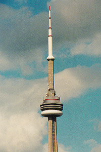
Southern Ontario
CN Tower, Toronto
The
southern portion of the Province of Ontario is a major population,
economic, and manufacturing centre of Canada. It contains some of the
largest cities in the country, including Toronto (pop. 2,502,000),
Mississauga (pop. 668,000), Hamilton (pop. 504,000), Brampton (pop.
434,000), London (pop. 352,000), Markham (pop. 261,000), Vaughan
(pop. 239,000), Windsor (pop. 216,000), and Kitchener (pop. 205,000).
The area is largely surrounding by the Great Lakes, and borders
on several U.S. states. The area’s population, culture, and
economy are very closely tied to that of its U.S. neighbours.
Southern Ontario has a large manufacturing base, most notably in
the auto industry. The close geographic proximity to Michigan,
as well as numerous large U.S. markets, has helped build the area’s
standing. Other industries, such as banking, tourism, and
transportation, also play a large role in the economy and employment
of the area.
Rolling farmland outside Paris, Ontario
The
geography is wide and varied. The Niagara Escarpment cuts
across the Niagara Region, extending into the Bruce Peninsula,
an area in the central north western part of the province. This
produces a cliff or mountain in many areas it traverses. Rolling
hills make up a good portion of the inland geography, as do low,
flat areas surrounding the Great Lakes.
Sources:
Province of Ontario
Statistics Canada - 2006 Census
Statistics Canada
Ontario Ministry of Transportation - Official Road Map of Ontario